What a spot! If you like peace, quiet and untamed beauty, this is the place for you. I highly recommend taking a day to visit this beautiful island, if you are in the area. I just can’t believe it took me so long to go there. We hiked and roamed, beachcombed, photographed everything, ate berries, had a picnic and some of us even swam!
St. Brendan’s is a community located on Cottel Island, a large island off the northeast coast of Newfoundland, with a current population of 125. The island is a gorgeous one-hour ferry ride (18 km) away from Burnside, where the ferry terminal is. There are no amenities- no stores, no cafes and no washrooms (other than the Hotty Potty at the ferry dock), so be prepared.
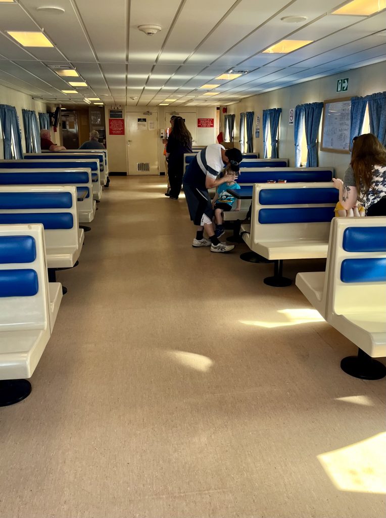
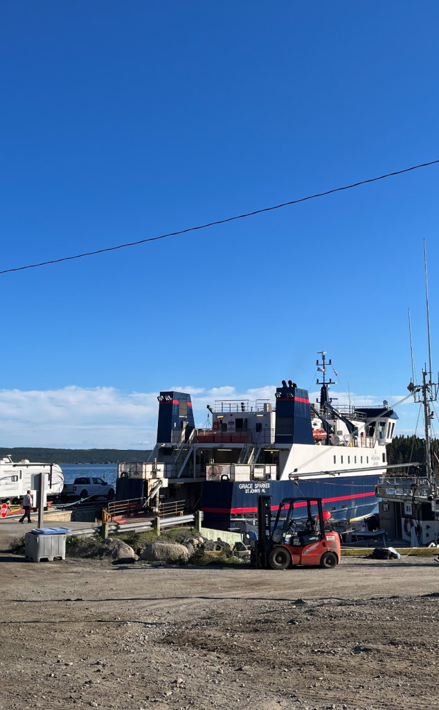
We took the 9:30 am ferry over to St. Brendan’s. We thought we’d be late but 9:30 is not the departure time- it’s when the ferry actually starts loading. However, there is only room for 16 vehicles so it loads fast. On the day we went, there were only seven cars, fortunately, so we had no worries about getting onboard. The cost of the ferry is on the government website and is per one-way. It cost us $12.75 for a vehicle and driver and $4.25 for a passenger x two, so $34. You pay on the return from St. Brendan’s with cash or cheque only, and you have to seek out someone to take your money.
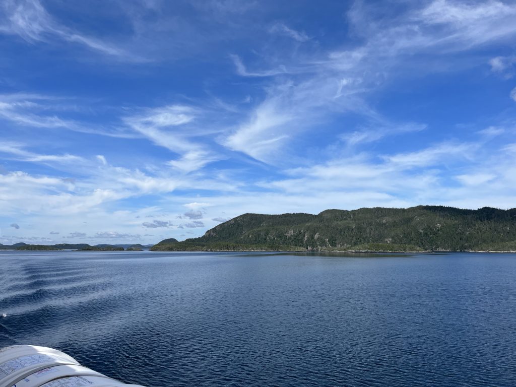
We brought our dogs with us. Pets either have to remain in the car or are allowed to be on deck, but not in the passenger lounge. As it was already a hot day at 9:30, we leashed the dogs and wandered around on the deck and took in the view. We watched as Burnside and Squid Island got smaller and as we sailed through a corridor of islands. It was a Saturday, so there were a few boaters out enjoying the weather and the recreational cod fishery. We also saw many seabirds, including gulls, gannets and even a bald eagle. The boat ride alone was worth the $34 charge.
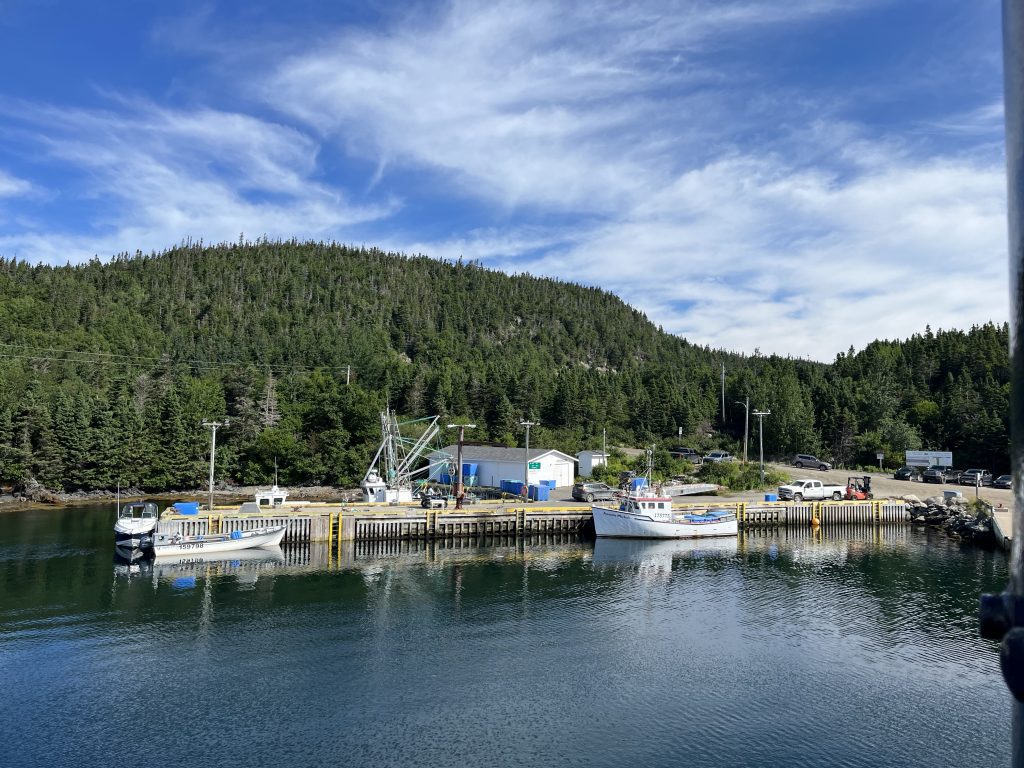
Just before the ferry pulls up to the dock, the passengers head down to their vehicles-there is no announcement, so just watch what others do. Once the boat stops, it doesn’t take long for the ferry to unload. After you leave the ferry dock, you turn right to go onto the main inhabited parts of the island. (The road to the left leads to an impressive little swimming/picnic area which I will get to later.) All the roads are dirt roads.
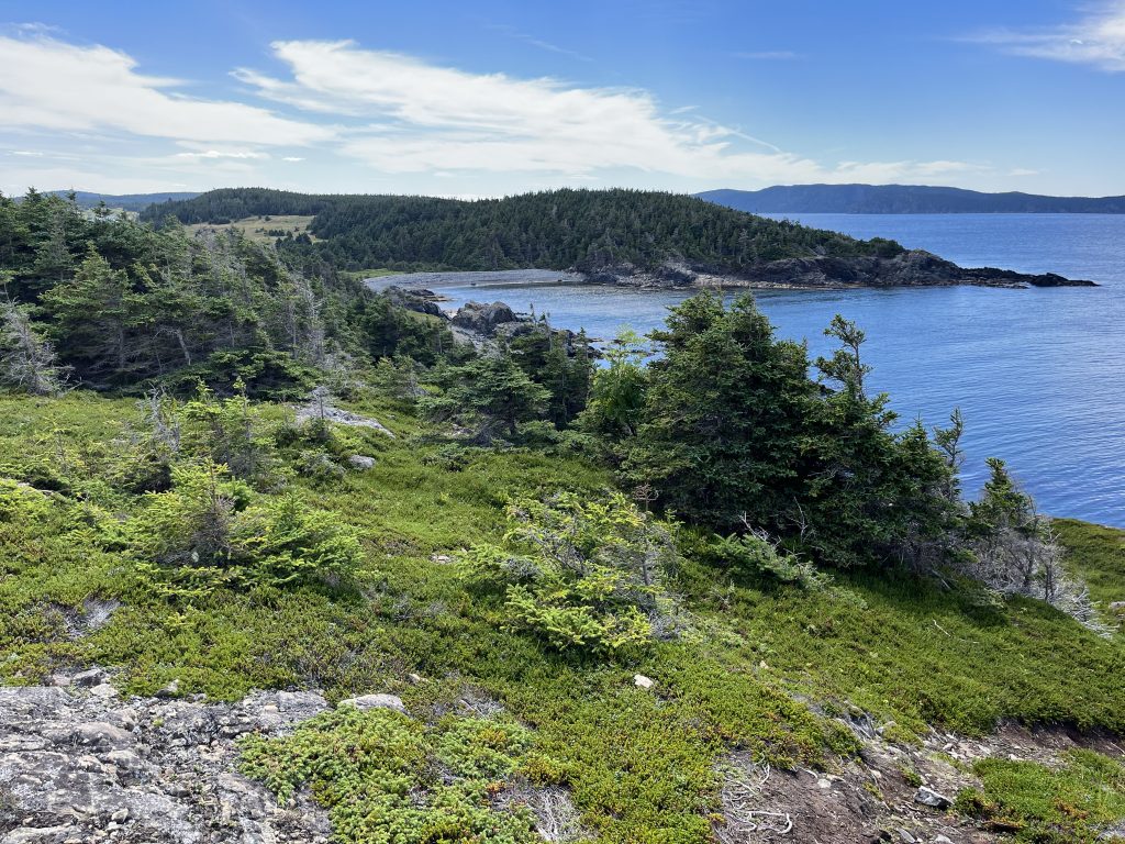
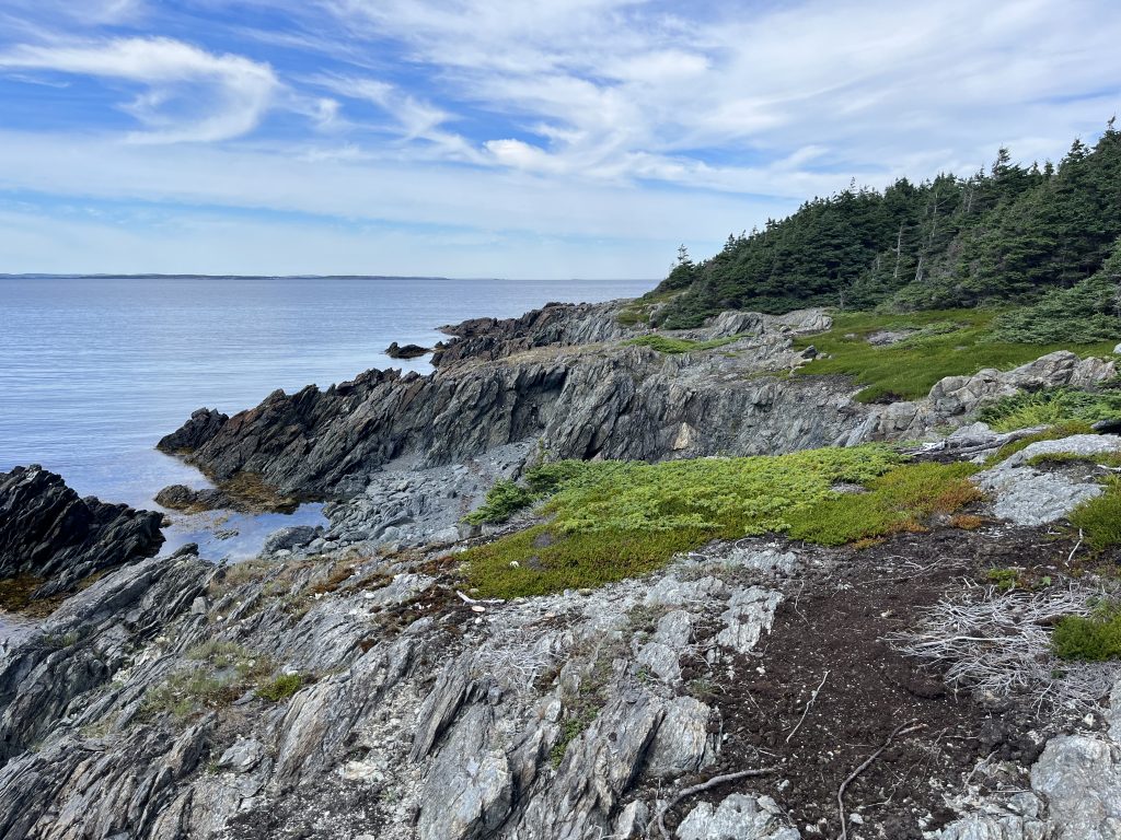
Our initial stop was a lookout point just at the top of the first hill. Here, there is a viewing platform with a hand-drawn picture of the landscape you are looking out onto. The picture was faded and the markers had mostly fallen off, but there is a list of the islands there and you can always use Google Maps to tell you what you are looking at. The view from here was breathtaking, but around every turn, there were million-dollar views.
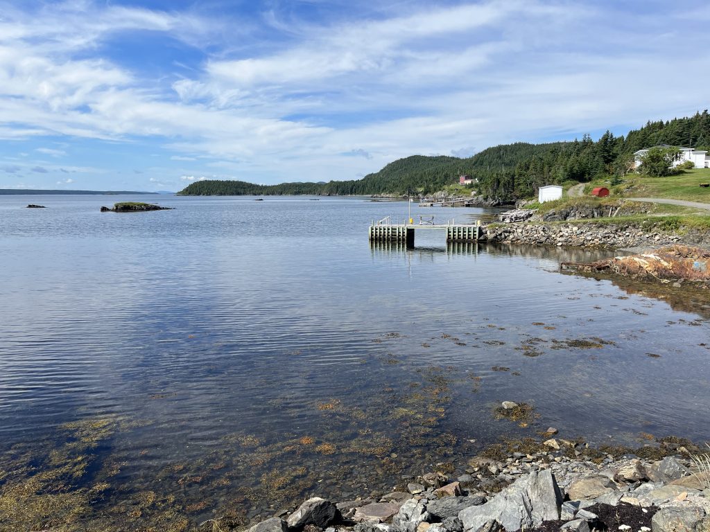
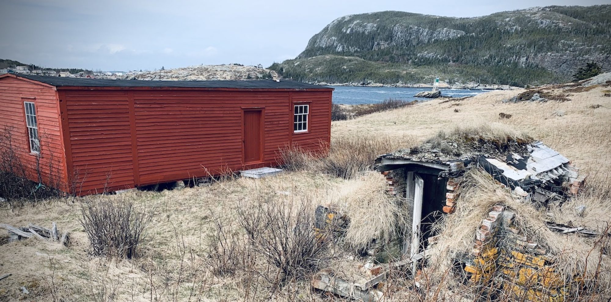
Because there aren’t that many roads on St. Brendan’s, we decided to go down each one of them. At our next right, we turned and came to a few houses and a little picnic area with a couple of benches. The views, again, were amazing. We followed the road as it wound to the right, past a few small beaches, to a group of houses. There was a fantastic sandy beach near the houses, but there was no path and you’d have to walk through someone’s field to get to it, so we turned around and went back up to the main road again.
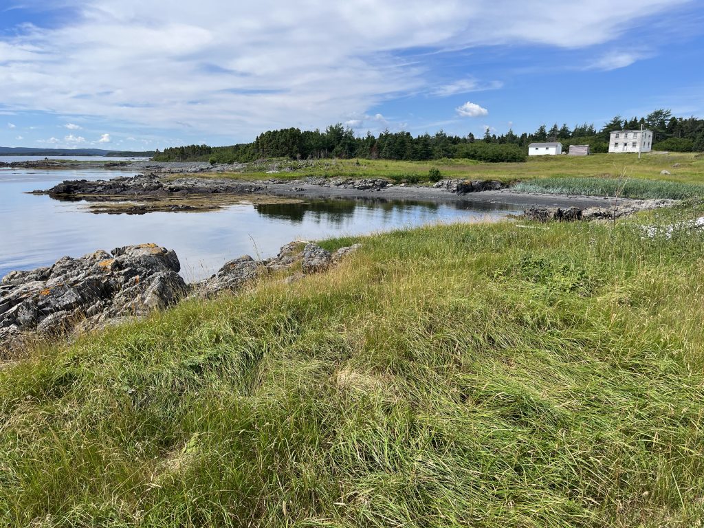
We quickly realized that St. Brendan’s is the epitome of all those Newfoundland and Labrador tourism ads you see. Each little area had breathtaking views and we had to stop the car multiple times for photo ops (and for Sasha to take a dip). Eventually, we reached the community hub where the school, church, community centre and medical clinic are located. Turning right here took us to a war memorial with benches and a (very unstable) picnic table and then towards Haywards Cove and Dock Cove. Dock Cove had a small picnic area and a nice beach that you could spend some time on. However, we decided to turn around and found a small, unnamed road after the Haywards Cove turnoff that lead to two small beaches and yet another picnic area. This area was down a small trail and unmarked- we used Google Maps to find it- and this is where we settled for a few hours. The beaches were absolutely beautiful and the water was so shallow and clear that even I ended up swimming in it! (And I haven’t swum in the North Atlantic since I was a kid and knew no better!)
Because we were enjoying ourselves so much and hadn’t explore all of the accessible parts of the island, we decided to skip the 2:00 pm ferry back and take the 6:00 pm, instead. And yes, you’d have to leave as there are no Airbnbs or camping areas, unfortunately.
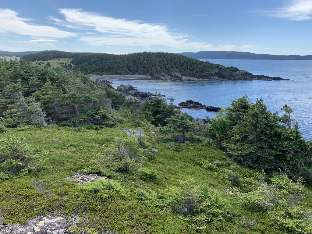
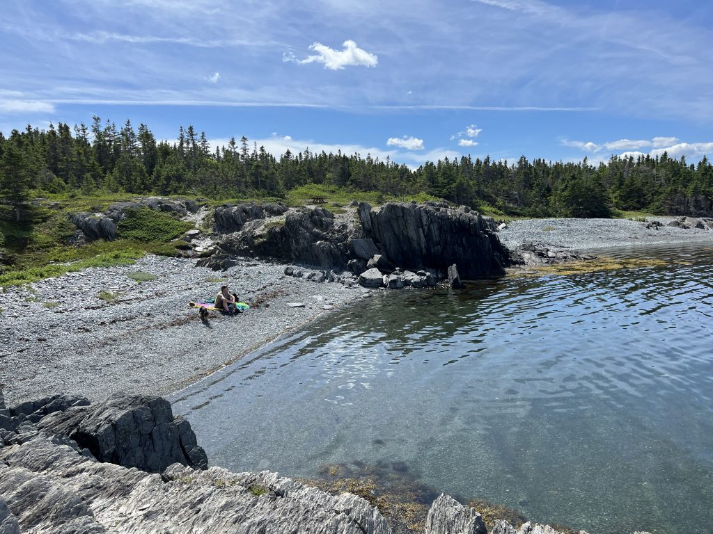
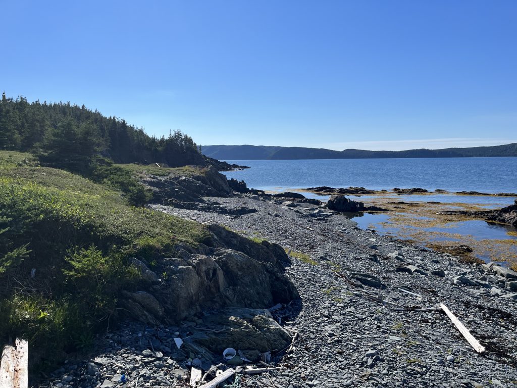
After our lunch, we headed back to the car and drove to Shoal Cove, which seemed to be the most populated area. We headed right to the end of the road and parked our car in a little spot just before an ATV trail leading to the lighthouse. We weren’t sure if this was someone’s property but as no one seemed to be home in the house across the road, we took the chance. Again, the trail wasn’t marked but when we reached the top, there was a bench there, welcoming visitors. The trail was not very long, perhaps 500 m, but it wound through grassy fields, a sandy beach, an impressive rocky beach and then through a wooded hilly bit to the lighthouse. The lighthouse is not really a lighthouse, but more of a light. But again, the views from the top were stunning.
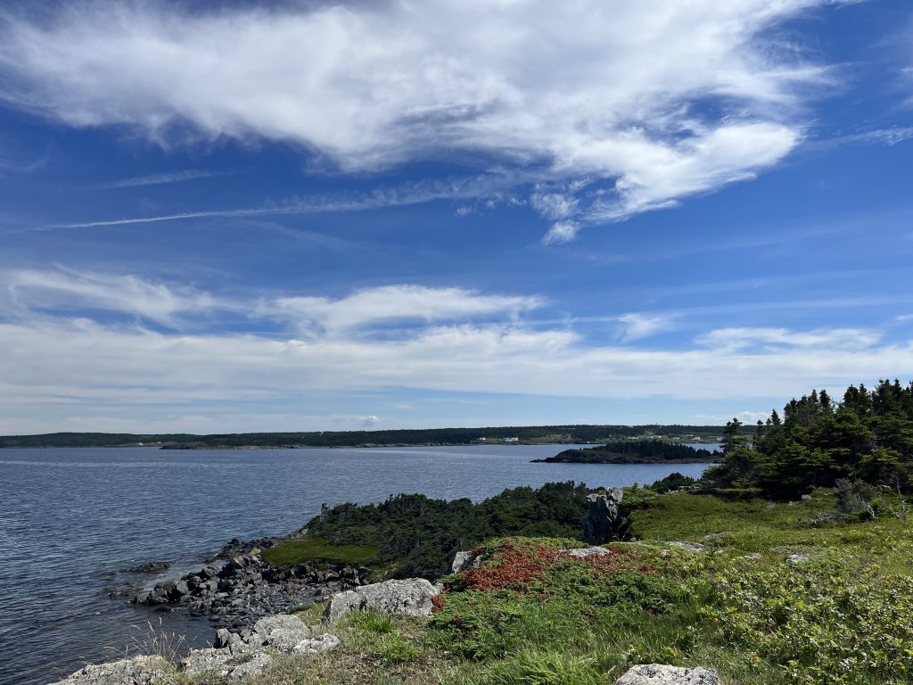
On the way back across the field, we took another ATV trail to the right and came upon a point where we could view another part of the opposite side of the island.
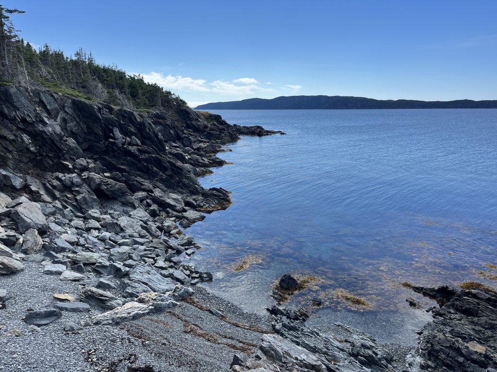
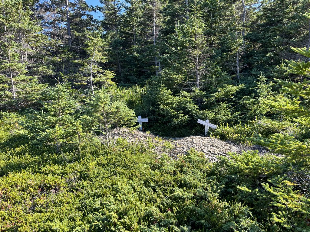
We had one last road to go in Shoal Cove near the NL Hydro station which took us to another beach, this one on the other side of the island, as well. There are a few houses here and it is hard to discern where to park, so we stopped near the utility building and walked out another ATV trail to the water. Strangely, this trail also went past two graves with wooden crosses but with no names or writing on them. The trail also kept on going as a footpath after that, but we didn’t follow it as it was nearing time to get back to the ferry.
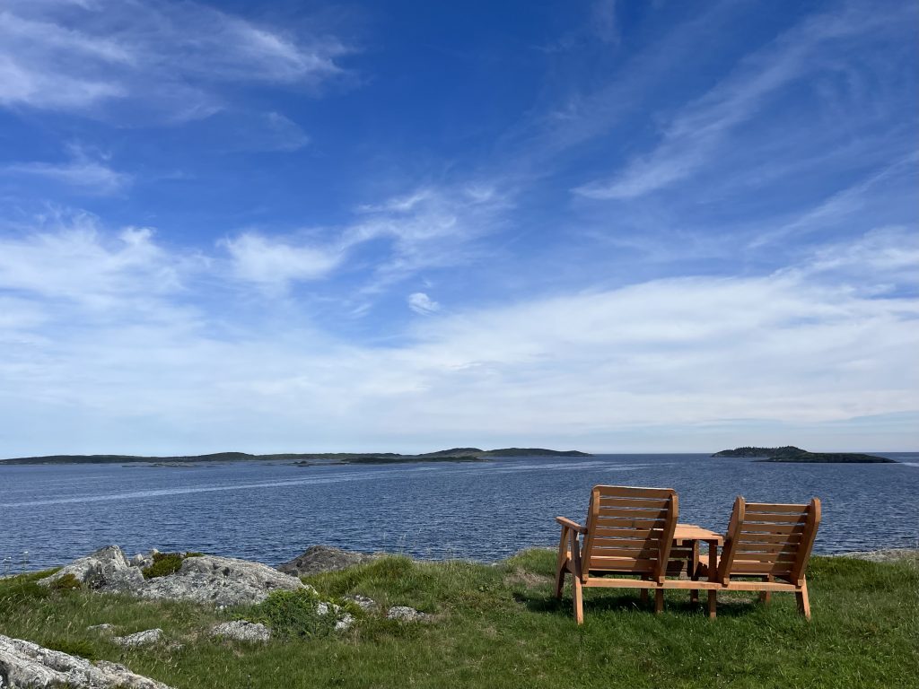
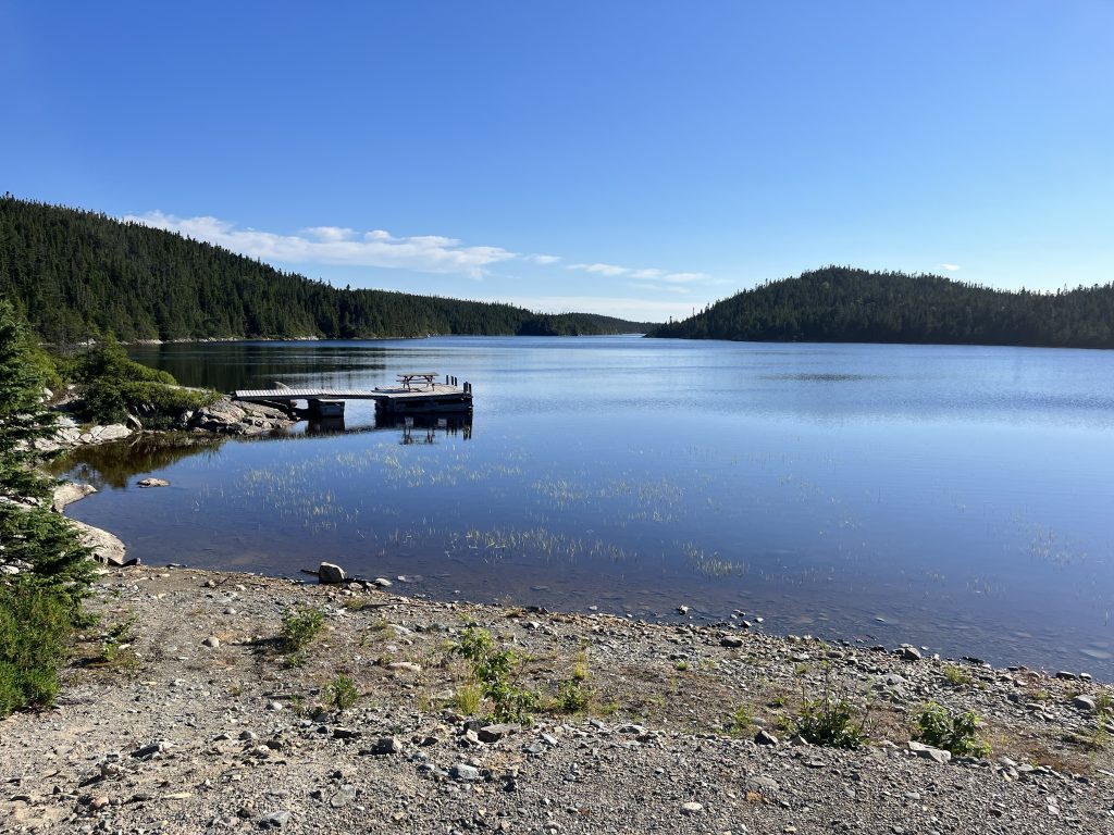
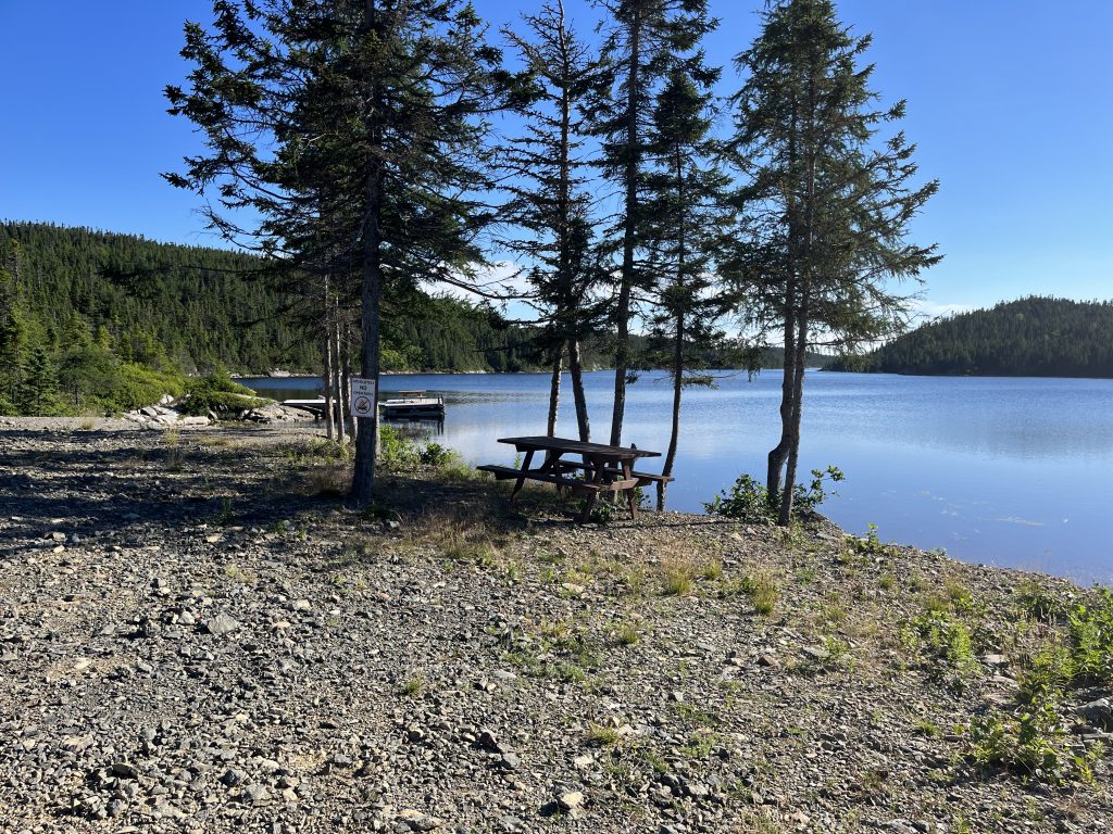
We had one last place to explore on our list-the swimming area near the ferry. So, we checked in on the line up to the ferry (as we couldn’t miss this one) and as there was no one there, decided to drive down the lefthand side of the road from the ferry terminal. From Google Maps, I had an idea that the spot would be a swimming area and I was right. The dirt road is a little rough in places but it only took us about five minutes to get to a wide open space with plenty of parking, a couple of picnic tables, a dock and a calm body of water. From the map, this looks like a long fjord that actually joins with the ocean. We will have to bring our kayaks over next time to find out for sure. This would make a good camping area- I wonder if the town would allow it if you asked?
We made it back to the dock in plenty of time to catch the baot and were actually third in a line of what ended up being five vehicles for the way back. Once the ferry begins its journey, you can find a worker to pay or one will come find you-it’s very informal. Our trip back was just as nice as the trip there but we sure had two tired puppies!
Overall, we had a wonderful day and I would highly recommend taking the trip to St. Brendan’s, as long as you are prepared for no amenities. The island is breathtaking in its beauty and a bit of a wonder as you may go all day without seeing more than a handful of people. So, if it’s beauty, peace and solitude you crave, go for it.